1.Safety
Important Please Note
Safety
It should be understood that there are automobiles, bicycles and other visitor traffic in the city of Stillwater. Please be aware of your surroundings and pay attention to the traffic, obstacles, other people and their dogs while you enjoy using Lens Flare Stillwater. We are pleased that you choose to visit Stillwater and we want you to safely enjoy your experience. More importantly, we want you return and let us know how to make your experience even better in the future.
The App and Web site are Free for you to use. It is important for you to know that it is your responsibility to be aware of dangers due to distractions that may impede your safe transit from one location to another while using this app on your mobile device.
Lens Flare Stillwater is a volunteer project funded by the Stillwater Foundation. Our volunteers and the Foundation cannot be responsible for any accidents due to distractions while using this app or web site on your mobile device. Students and children are encouraged, but must be supervised by adults as they experience the rich history of Stillwater, Minnesota.
This App is to be used when you are actually in the City of Stillwater. As you enter a "Geo-Fence" for each location, information related to this location will appear for you to interact with. These visual cues will change as you enter additional "Geo-Fences" of other historical locations.
2.Instructions
Instructions for your mobile device
1. Set your phone on CELLULAR DATA to the "ON" position. This enables you to receive signals outside of a WIFI Zone.
2. Set Privacy Setting to LOCATION and enable this setting. This enables your position to be located on the map relative to the historical locations.
3. If the APP asks for you to make your location known, say "YES".
4. Being outside works best for receiving GPS signals. If you are inside a building, it is difficult to receive a GPS signal from all the satellites that are necessary for accurate geo-location.
5. If you click on a map on the APP, the blue dot represents your position on the map.
6. It is best to set your "AUTO LOCK" for five minutes or longer so that the phone stays on while you walk.
3.Vantage, locations, fences, toggling and time tunnels.
Let the fun begin
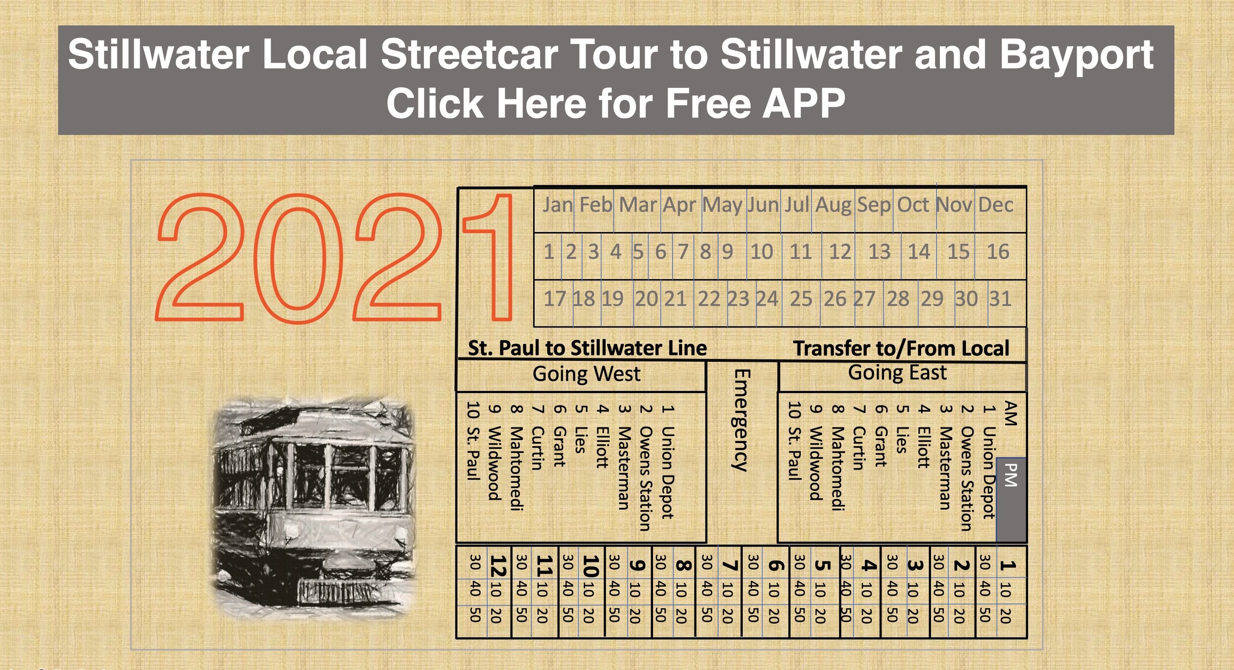
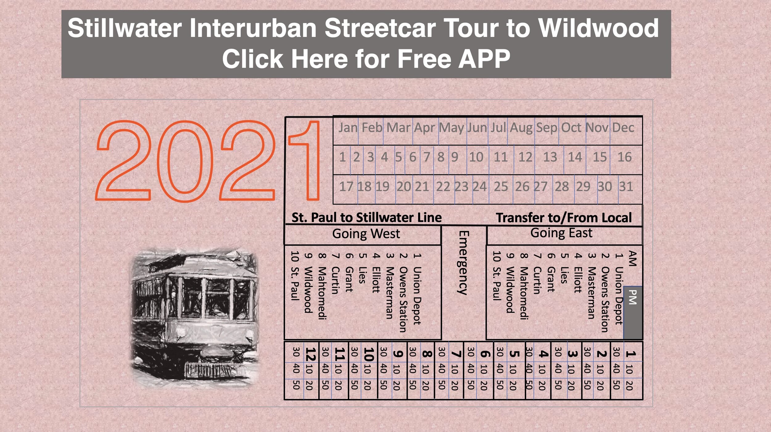
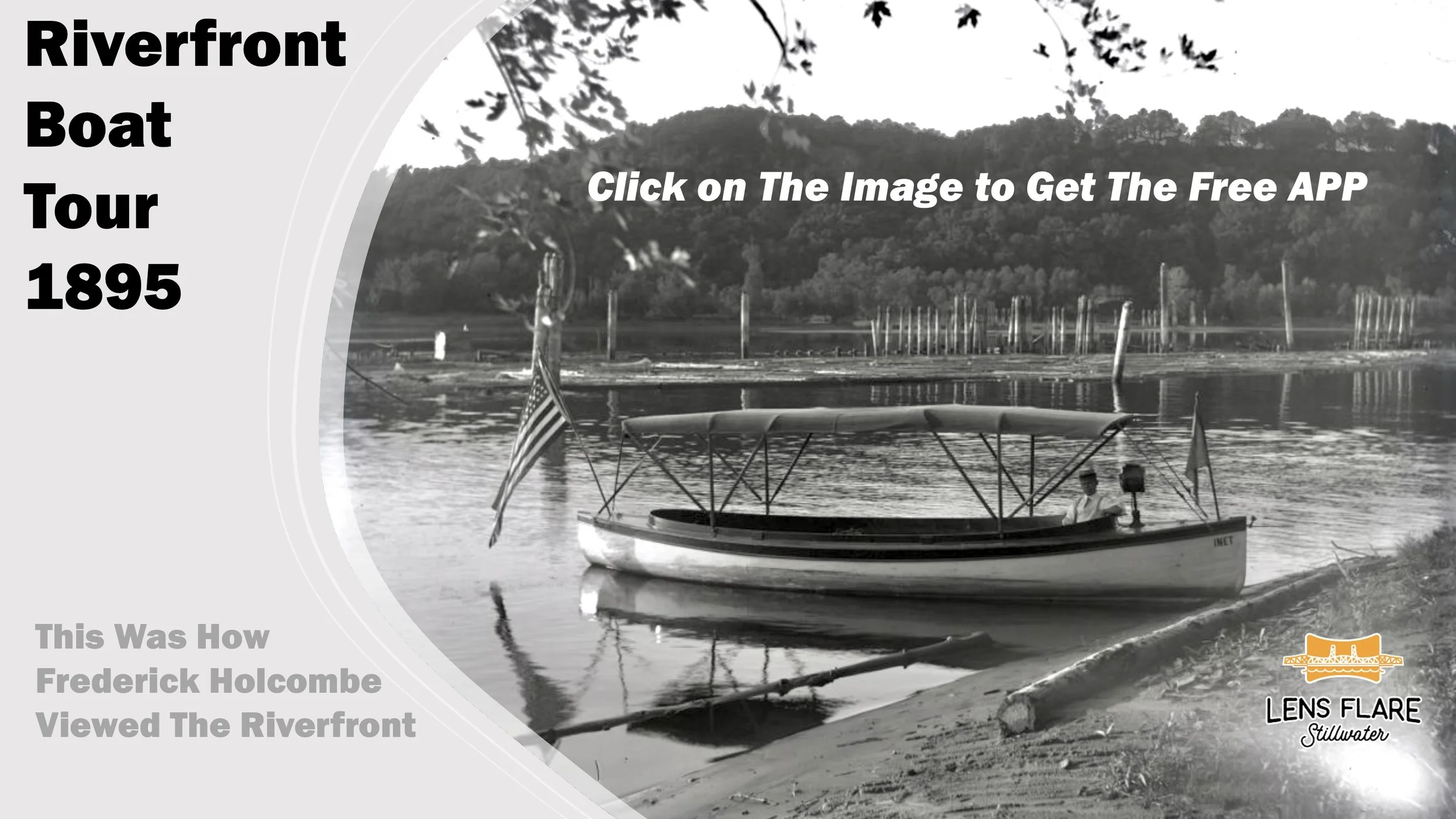
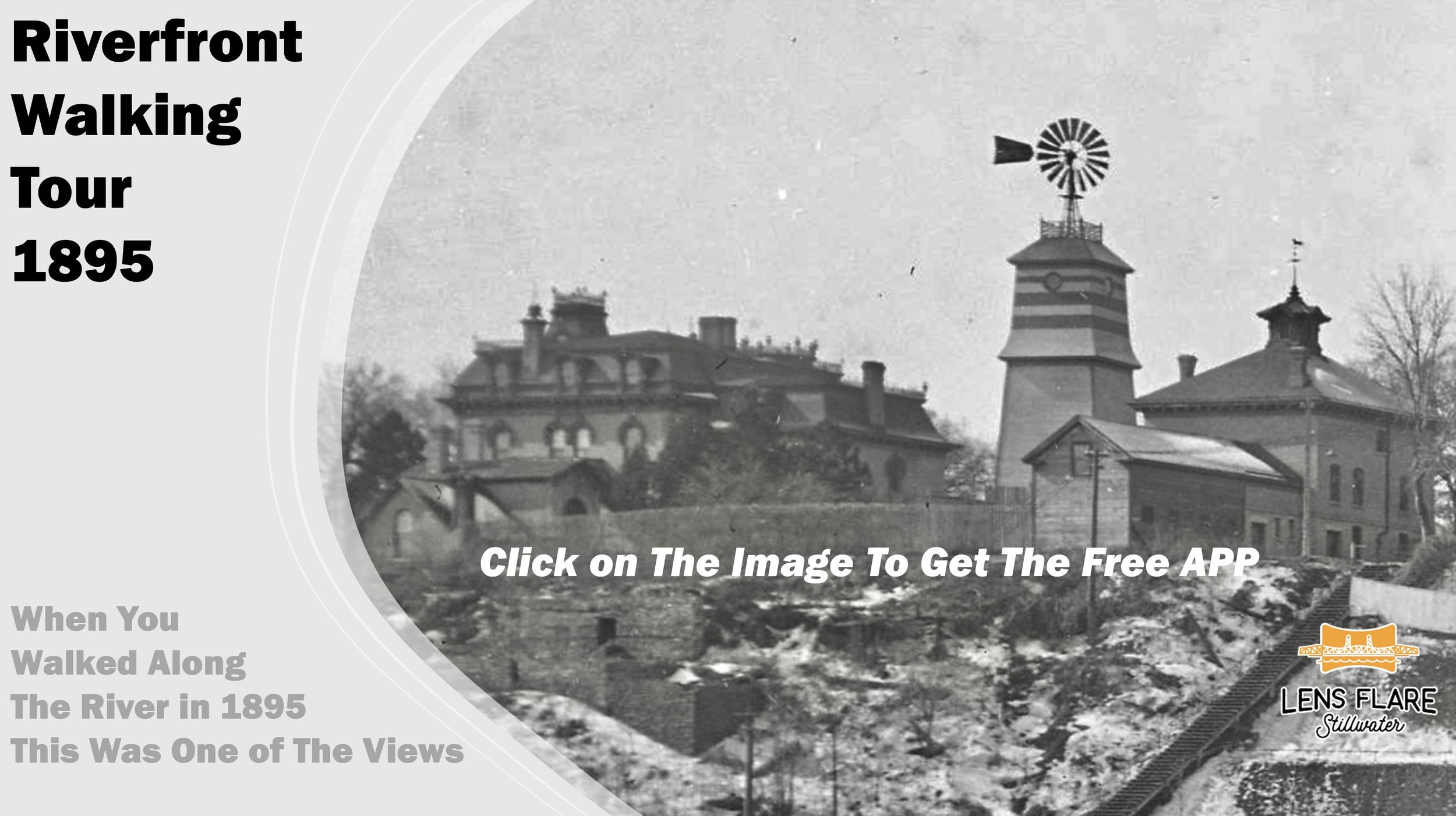
Each of the historical sites has a GPS Location. Sometimes we use a "Vantage Point" location and other times we use the actual location of the historical site. The "Vantage Point" refers to the location of the camera when the photo was taken.
There are "Geo-Fences" set around each historical location. When you enter a "Geo-Fence" for any given location, the historical photo of that location will appear in a short while. There will also be a narrative and an audio file with some of the locations so that you can learn about its history. Just click on the audio file to listen to the narrative about the location. As you walk into other "Geo-Fences" from other historical locations, the historical photos, narratives and audio files will change.
In addition, there are other photos that can be viewed at the end of each location narrative. Be sure to use the "Additional Information About...." link. This APP is integrated with the Lens Flare Stillwater web site to provide further information, photos, videos and references about the historical site that you are experiencing. Lens Flare Stillwater and its App are also integrated with a more recent view of the same location via Google Maps 360 Street View. There are links to all of these features so that you can enjoy your self-guided tour.
Be sure to experience the "Time-Tunnel" photos that take you from the past to today in one photo that slowly "morphs" from one era to another at the same location.
Keep in mind that you can toggle back and forth between the APP and the Lens Flare Stillwater web site. Make sure that you are in the APP for the automatic changes to take place as you tour. The App has a white background, while the web site has a black background.